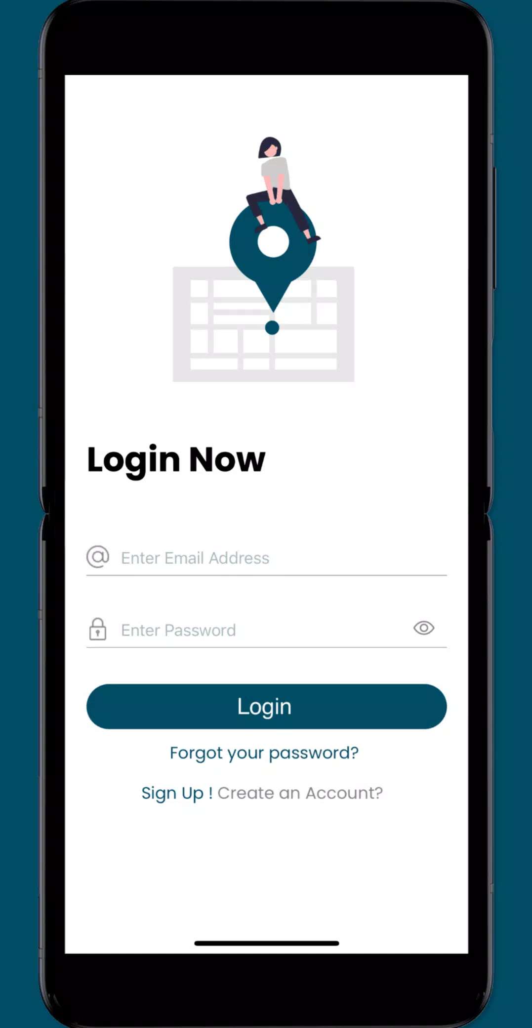
The Sea Level Rise app empowers individuals to actively participate in mapping and documenting the effects of sea level rise and other flooding issues within their communities. By engaging in this crowd-sourced initiative, you can contribute valuable data that aids researchers and civic leaders in understanding and addressing the impacts of rising sea levels.
Our journey began in Hampton Roads, Virginia, where we've harnessed the power of community involvement through the annual "Catch the King Tide" events. Organized by Wetlands Watch, these events have seen thousands of volunteers come together to map and monitor the effects of high tides. The Sea Level Rise app builds on this foundation, fostering a more informed and connected community to stay ahead of the rising waters.
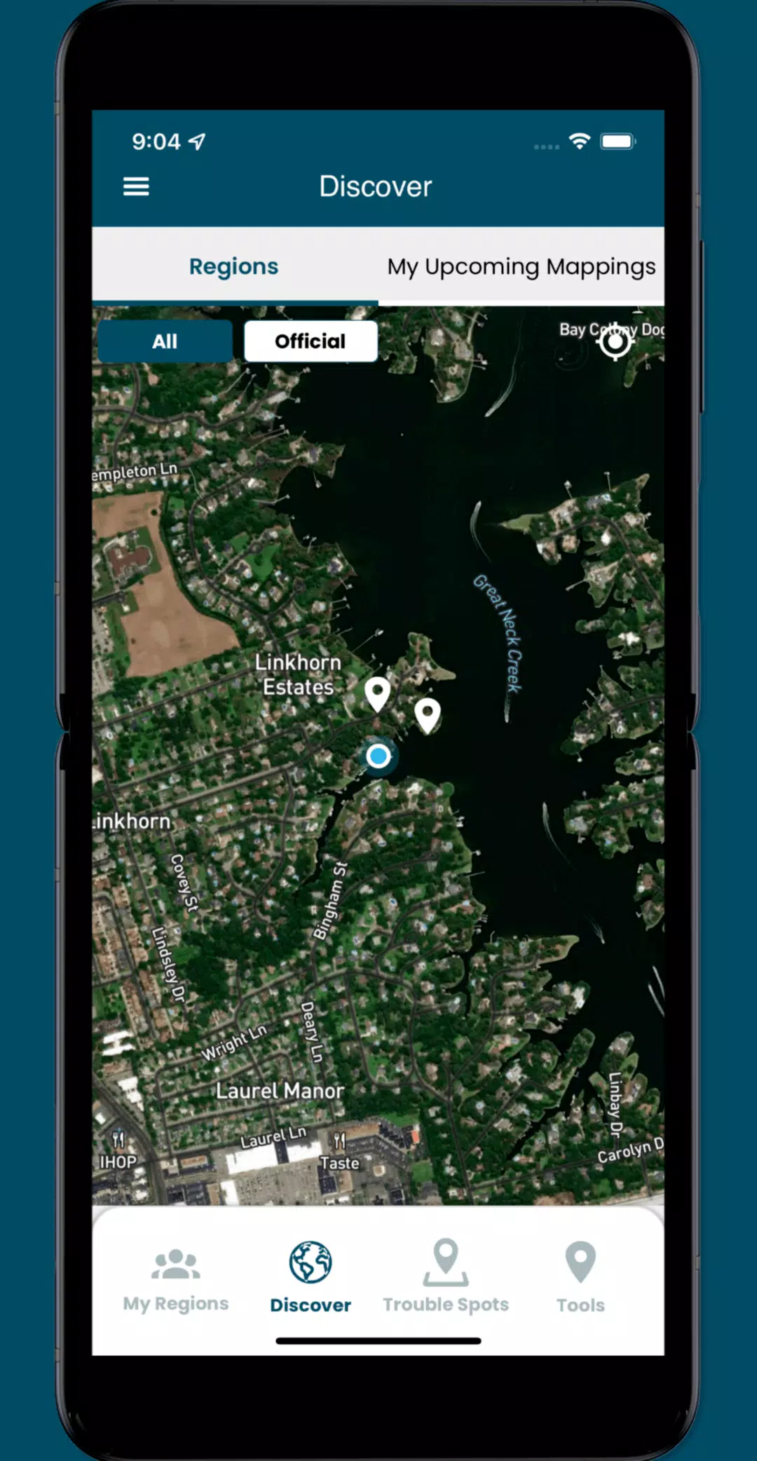
By using the app, you can access user-submitted data about this global phenomenon and volunteer to collect street-level information. Here's what you can do with the app:
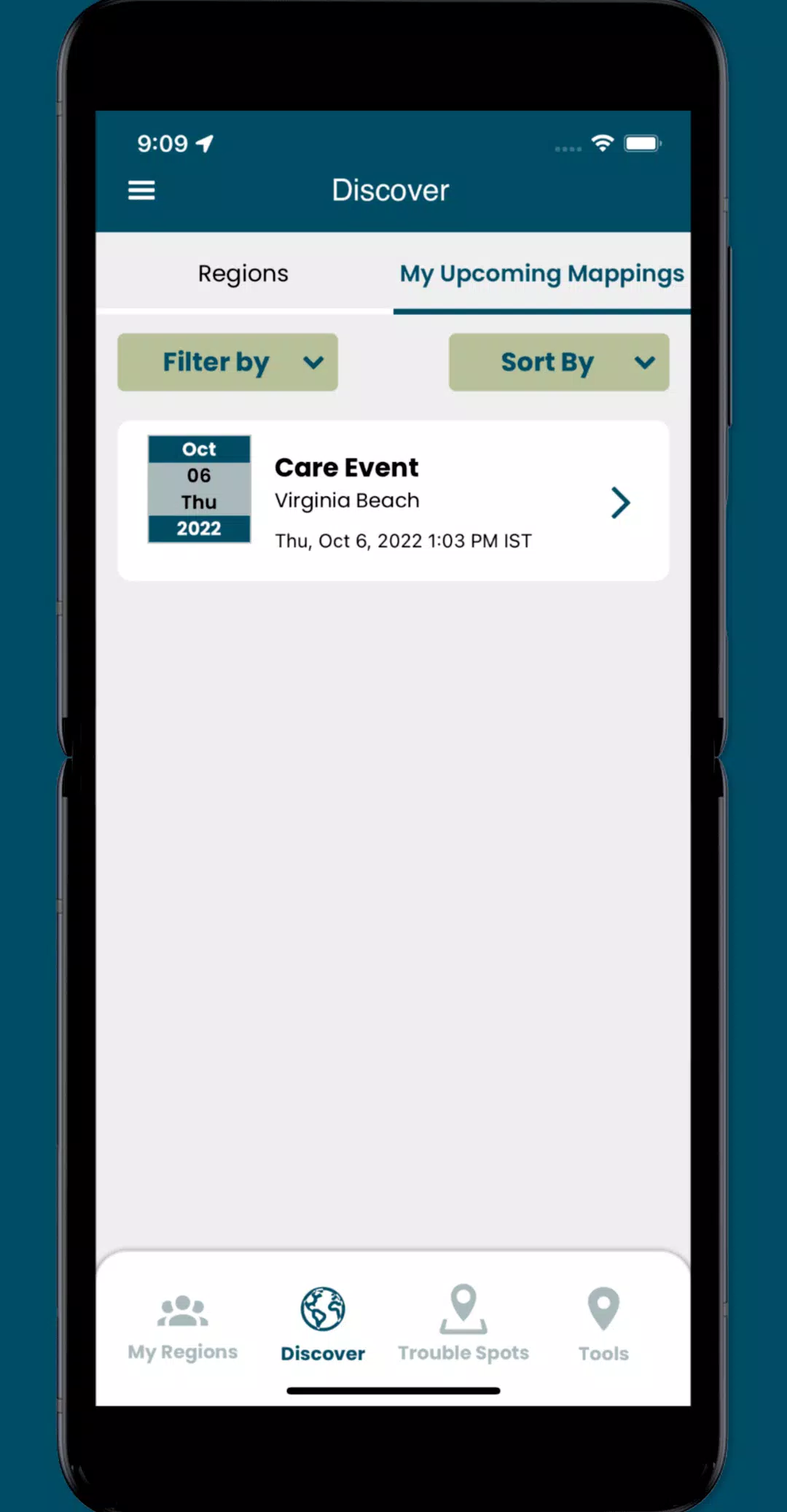
- Join crowd-sourcing events to gather crucial localized data, which is essential for researchers and civic leaders but often scarce.
- Identify and report "Trouble" spots where high water impacts your travel during inclement weather.
- Document and share photos of flooding in your community to raise awareness and assist in planning.
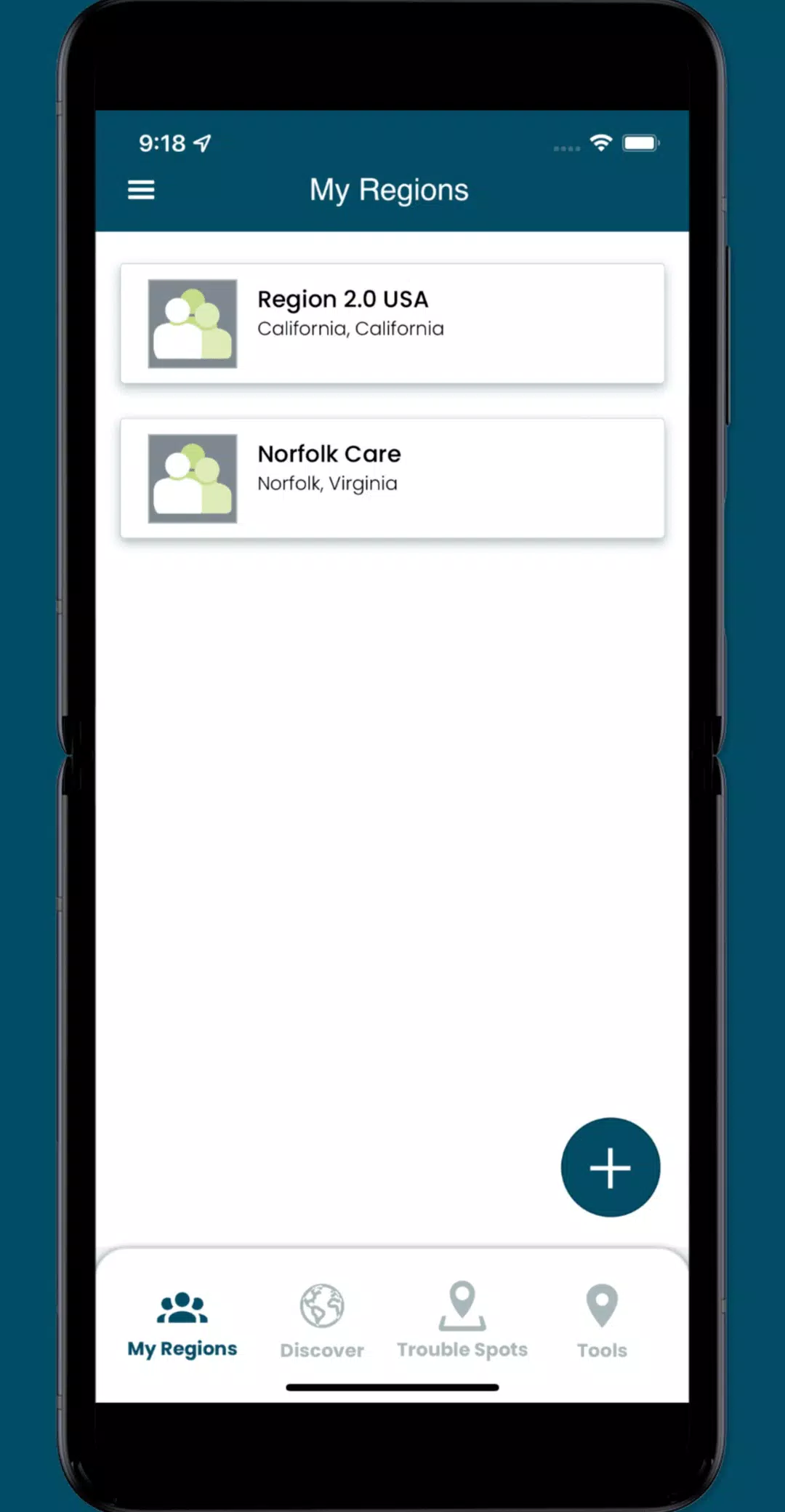
- Engage with specific collaboration spaces, or regions, to manage volunteers and organize mapping events effectively.
What's New in the Latest Version 3.0.9
Last updated on Oct 19, 2024
Update the following functionality:
- Implemented minor UI enhancements and resolved several issues throughout the app.