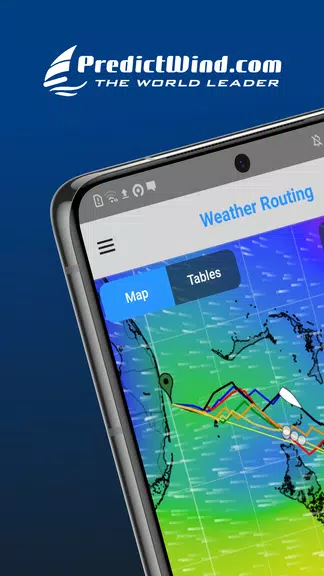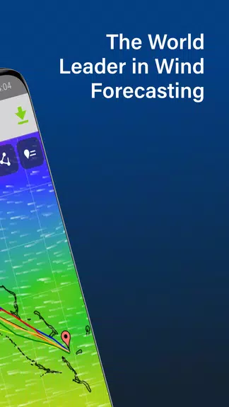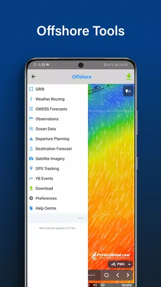
Stay ahead of the weather with the ultimate marine companion – the PredictWind Offshore Weather app. Plan your offshore passages with confidence, accessing multiple GRIB files, weather routes, GMDSS maps, AIS data, and more. Leveraging top forecast models like ECMWF, GFS, and our high-resolution PWG & PWE models, you'll receive accurate and reliable data for safe seafaring. Easily calculate weather routing, plan departures, and utilize a suite of powerful marine tools. Live observations, destination spot forecasts, and comprehensive ocean data ensure you're never caught off guard. Sail smarter with this comprehensive offshore weather app.
Features of PredictWind Offshore Weather:
⭐ Comprehensive Data: Access the world's leading forecast models for reliable and accurate weather information.
⭐ Powerful Marine Tools: Beyond forecasts, utilize a suite of marine tools for weather routing, departure planning, and enhanced safety at sea.
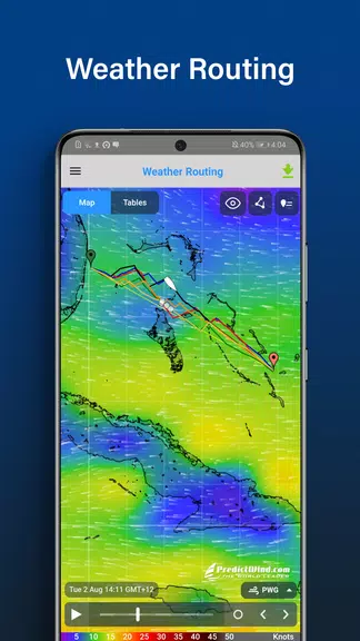
⭐ High-Resolution Maps and Graphs: View high-resolution forecast maps featuring animated streamlines, wind barbs, or arrows, and compare multiple parameters on detailed graphs.
FAQs:
⭐ Satellite Compatibility: Yes, compatible with most satellite connections via devices like Iridium GO! and Globalstar.
⭐ GMDSS Forecasts: Yes, view GMDSS forecasts in text and map formats.
⭐ GPS Tracking: Yes, receive a free customized GPS tracking page for your blog or website, and access worldwide AIS data.
Conclusion:
PredictWind Offshore Weather is the ultimate app for sailors and boaters. Its comprehensive data, powerful marine tools, high-resolution maps and graphs, ocean data, and AIS tracking features provide accurate weather forecasts and advanced navigation tools. Stay safe and informed at sea with this all-in-one offshore weather app.