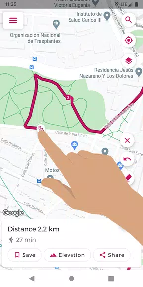
Effortlessly plan your routes with Just Draw It! Route Planner. This intuitive app lets you sketch your path directly on the map with a simple finger swipe, instantly displaying the total distance. Perfect for runners, walkers, cyclists, and more, it eliminates the guesswork of route planning. Save favorite routes, import/export GPX files, and even analyze elevation profiles. Features like snap-to-road and place search ensure precise route creation. Explore with confidence – download Just Draw It! today and leave getting lost behind.
Key Features of Just Draw It! Route Planner:
- Intuitive Finger-Drawn Routes: Plan your route by tracing your finger across the map.
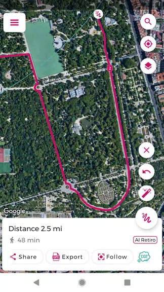
- GPX File Management: Import and export GPX files for easy route sharing and editing.
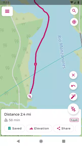
- Precise Distance Calculation: Obtain accurate distance measurements for your planned route.
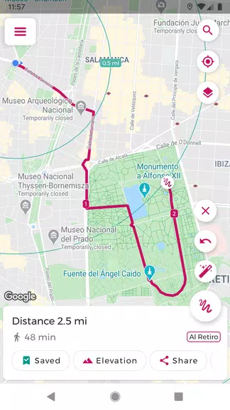
- Route Saving: Save your favorite routes for convenient future access.
- Snap-to-Road Functionality: Ensure accurate routes by snapping your path to existing roads and trails.
- Elevation Profile Visualization: View elevation changes along your route for better preparation.
User Tips:
- Pre-plan your route and distance using Just Draw It! before heading out.
- Save time by importing and modifying existing GPX files.
- Share routes with friends to explore new areas together.
- Utilize the place search to easily pinpoint starting locations.
- Review the elevation profile to anticipate any challenging inclines or declines.
In Conclusion:
Just Draw It! Route Planner is your ideal companion for all outdoor adventures, from leisurely walks to challenging cycling expeditions. Its user-friendly design and accurate distance calculations make route planning a breeze. Download now and embark on your next exploration with confidence!